


The Similan Islands (Thai: หมู่เกาะสิมิลัน, RTGS: Mu Ko Similan, Thai pronunciation: [mùː kɔ̀ʔ si.mi.lan], Malay: Pulau Sembilan) is an archipelago in the Andaman Sea off the coast of, and part of, Phang Nga Province in southern Thailand. It is the maritime border between India and Thailand. It was established as Mu Ko Similan National Park in 1982 after a one-year assessment by the forestry department.
similan island
The park is an archipelago consisting of 11 islands, occupying an area of approximately 140 km2 with a land area of about 26 km2.[3] For convenience, the Thai Department of National Parks (DNP) has assigned numbers to the islands. From north to south, they are:[7]
Island 11: Ko Tachai
Island 10: Ko Bon, also known as Ko Talu
Island 9: Ko Ba-ngu, also known as Ko Bayu
Island 8: Ko Similan
Island 7: Ko Hin Pousar
Island 6: Ko Payu, also known as Ko Pa Yu
Island 5: Ko Ha
Island 4: Ko Miang, also known as Ko Meang. Park HQ is here.
Island 3: Ko Payan, also known as Ko Pa Yan
Island 2: Ko Payang, also known as Ko Pa Yang
Island 1: Ko Huyong, also known as Ko Hu Yong
A hairy-legged mountain crab, Ko Miang
The Similans lie 70 kilometres off the coast of Phang Nga Province. “Similan” is a Yawi word meaning ‘nine’. Ko Bon and Tachai were added to the national park in 1998.
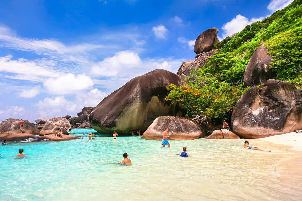
Ko Similan: Ko Similan is the largest island. The sea in the area has an average depth of 60 feet. Underwater it is full of rock formations and coral reefs in several shapes and forms, resembling such things as deer, leaves, brains, and mushrooms. Above the water are found many diverse species such as the Nicobar pigeon, mangrove monitor lizards, flying fox and more.
Ko Huyong: Ko Huyong has the longest and widest beach in the park. However, the park prohibits any tourists from landing on the island as the beach is a place where turtles come to lay their eggs.
Content by: wikipedia